The Ground Beneath Joplin's Old Mine Belt Has No Insurance Safety Net
August 13, 2026
August 13, 2026
Walk the older blocks of Joplin, or drive through Webb City, Carterville, or Oronogo, and you are standing on top of a town most residents never see. Starting in the 1870s, crews sank shafts into shallow lead and zinc deposits and carved out chambers wide enough to work with mules and pack horses. According to Historic Joplin, most of that mining happened underground, and much of the city was later built directly above those old workings. The mining stopped decades ago. The ground, for the most part, has held.
That "for the most part" is the entire story for anyone buying or selling a home in this stretch of Jasper County. Most transactions here close without a single subsidence question ever coming up. But the ones that do run into it discover something surprising: unlike homeowners in Illinois, Indiana, Pennsylvania, or half a dozen other states with mining pasts, Missouri never built a state-backed insurance fund to cover this specific kind of ground movement. If it happens here, there is no standardized program waiting to pick up the claim. The conversation has to happen privately, between buyer, seller, insurance agent, and lender, with no state fund to lean on.
The federal government has a name for this ground: the Oronogo-Duenweg Mining Belt Superfund site, added to the National Priorities List on September 30, 1990. Per the EPA's site profile, the site covers all of Jasper County and a small piece of northwest Newton County, the Missouri corner of the historic Tri-State Mining District that once stretched across southwest Missouri, southeast Kansas, and northeast Oklahoma.
The scale of the old operation is part of why this still matters. The Joplin Globe reported that about 900 acres of former mining land were slated for restoration in one cleanup phase alone, with roughly 475 acres between Carterville and Webb City turning green again after decades of contamination, open shafts, and water-filled pits. The companies identified as responsible for the pollution included Gold Fields, Childress Royalty, Acme Land Co., Doe Run, and Blue Tee Corp.
The EPA received a $33 million settlement from Asarco Corp. for its mining activity in Jasper and Newton counties. Jasper County's share was $22 million. Newton County's share was $11 million.
That money didn't just fund soil cleanup. Developers working reclaimed parcels are explicitly barred from disturbing areas where caps have been built over old subsidence pits, a restriction that shapes what can and can't be built on certain lots long after the mining companies are gone.
This isn't a closed chapter. The EPA's current site profile shows active work moving through 2026. A ROD Amendment lowering the residential lead action level is expected to finalize in mid-to-late 2026, and remedial action tied to that change is expected to begin in the same window. In fall 2024, the agency completed remediation at the 2nd and Ivy properties in Oronogo, removing more than 119,000 cubic yards of mine waste and contaminated soil, and it has additional contracts planned to address roughly 1.5 million more cubic yards of waste, mine subsidence issues, and repository integrity in the years ahead.
The groundwater side of this is just as current. In June 2022, the EPA restarted sampling of private drinking water wells in coordination with the Jasper County Health Department, and an emergency removal action is still providing bottled water or point-of-use filtration to affected residences. If you're buying a property with a private well anywhere near this belt, that well sampling history is worth asking about directly, separate from any standard water test your lender requires.
Here's the part that catches people off guard. States with real mining exposure built specific tools to handle it. Colorado, Illinois, Indiana, Kentucky, Ohio, Oklahoma, Pennsylvania, West Virginia, and Wyoming all maintain some form of mine subsidence insurance fund, usually with a state-set maximum coverage amount and a defined claims process. Missouri isn't on that list, even though it shows up on the same industry lists as Illinois, Indiana, and Pennsylvania as a state with a meaningful number of residential structures sitting near old mines.
What that means in practice: a standard homeowners policy in Jasper County typically excludes damage from mine subsidence, the same way it would in a state with a formal fund. But there's no state program to fall back on if you want dedicated coverage. Getting it means asking a local insurance agent about a named-peril endorsement and having them shop it, rather than checking a box that comes standard with your policy the way it might in a neighboring mining state. Few buyers know to ask this question before they're already under contract, and by then it's a much harder conversation to have calmly.
If subsidence risk does come up during a transaction, it doesn't automatically kill the deal, but it does change the paperwork. FHA guidance on this used to be simple: no loan on a property with known subsidence concerns. That standard has since shifted toward lender discretion. In practice, a lender facing a subsidence question typically orders a geological engineer's report and bases the loan decision on those findings. The appraisal itself is supposed to reflect the property's current condition rather than speculate about future risk, with any repair needs or engineering findings disclosed and the appraisal marked subject to further inspection or repair. That means the process leans heavily on whoever the lender hires to write that report, which is one more reason a pre-listing conversation with a title company or inspector who knows this specific belt is worth having early, not after an offer is already signed.
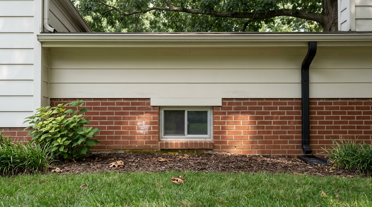
Not every crack in a Jasper County basement has anything to do with old mine ground, and treating every foundation issue as a subsidence event does a disservice to sellers whose homes have a much more ordinary story. A local foundation repair company that works across Joplin describes two very different housing populations here. Older homes that survived the 2011 EF5 tornado carry sixty to eighty years of accumulated stress from Jasper County's clay soils and seasonal freeze-thaw cycling, often in block or poured concrete walls built before modern waterproofing standards existed. Homes rebuilt between 2011 and 2015 on lots where the tornado destroyed the original structure face a different problem: fill soil that was compacted quickly to rebuild a neighborhood, not engineered for decades of long-term stability.
In the parts of the city the tornado didn't touch, the north side, the older west side, and the established streets south of Seventh Street, foundation issues tend to track the age of the housing stock rather than anything happening underground. Horizontal cracking at mid-wall height, stair-step cracking along mortar joints, and chronic basement water intrusion are the common patterns in 1940s-through-1960s block foundations that never had interior drainage installed. Joplin sits at the western edge of the Ozarks plateau and averages more than 43 inches of rain a year, and that clay soil holds moisture against foundation walls long after a storm passes. None of that requires a mine map to explain. The newer developments along the Rangeline Road and McClelland Boulevard corridors carry their own, separate set of considerations tied to more recent construction rather than old workings.
If your property sits inside the historic mining footprint, whether that's central Joplin, Webb City, Carterville, Oronogo, or Duenweg, the practical move is to get ahead of the question rather than waiting for a buyer's inspector to raise it. Pull together whatever records exist: any prior engineering reports, any known repair history, and whether the home has ever carried a subsidence-specific insurance endorsement. If you're near the EPA's active work areas, it's also worth knowing whether your property or well has been part of the agency's sampling and remediation efforts, since that history is relevant to a buyer even when it has nothing to do with the home's structure.
A short list worth having ready before you list:
None of this means a home in this belt is harder to sell. It means the conversation is more specific than it would be elsewhere in Southwest Missouri, and sellers who show up with answers already in hand tend to move through inspection and financing with a lot less friction.
Does this affect every home in Jasper County, or just certain neighborhoods? The EPA's Oronogo-Duenweg Mining Belt site covers all of Jasper County and a small part of northwest Newton County, but the actual old mine workings, subsidence-capped pits, and reclaimed land are concentrated in and around Joplin, Webb City, Carterville, Oronogo, and Duenweg. A property outside those specific footprints may never come up in this conversation at all.
If I'm buying near the old mine belt, do I need special insurance? Standard homeowners policies generally exclude ground movement from mine subsidence, and Missouri doesn't run a state fund the way Illinois or Indiana do. If you want dedicated coverage, ask a local insurance agent whether they can add a named-peril endorsement for your specific property.
Will a lender automatically reject a loan on a house over old mine ground? Not automatically. Current practice leaves the decision to the lender, who will typically order a geological engineer's report and base the loan on the property's current condition rather than assume future risk. Getting that report early, before you're deep into a contract, gives everyone more room to work with.
Every property in this corner of Southwest Missouri has its own version of this story, and most of them are far less complicated than they sound. If you're weighing a purchase or a listing anywhere in the Oronogo-Duenweg footprint, Legacy Real Estate can walk through what's actually relevant to your specific address before you sign anything. Get Your Free Home Valuation and let's start the conversation with the facts on the table.
Stay up to date on the latest real estate trends.
Backed by local knowledge, strong relationships, and a passion for helping people, our team is committed to delivering a smooth and personalized real estate experience from start to finish.
LEGACY REAL ESTATE
18036 NEWTON RD DIAMOND, MO 64840